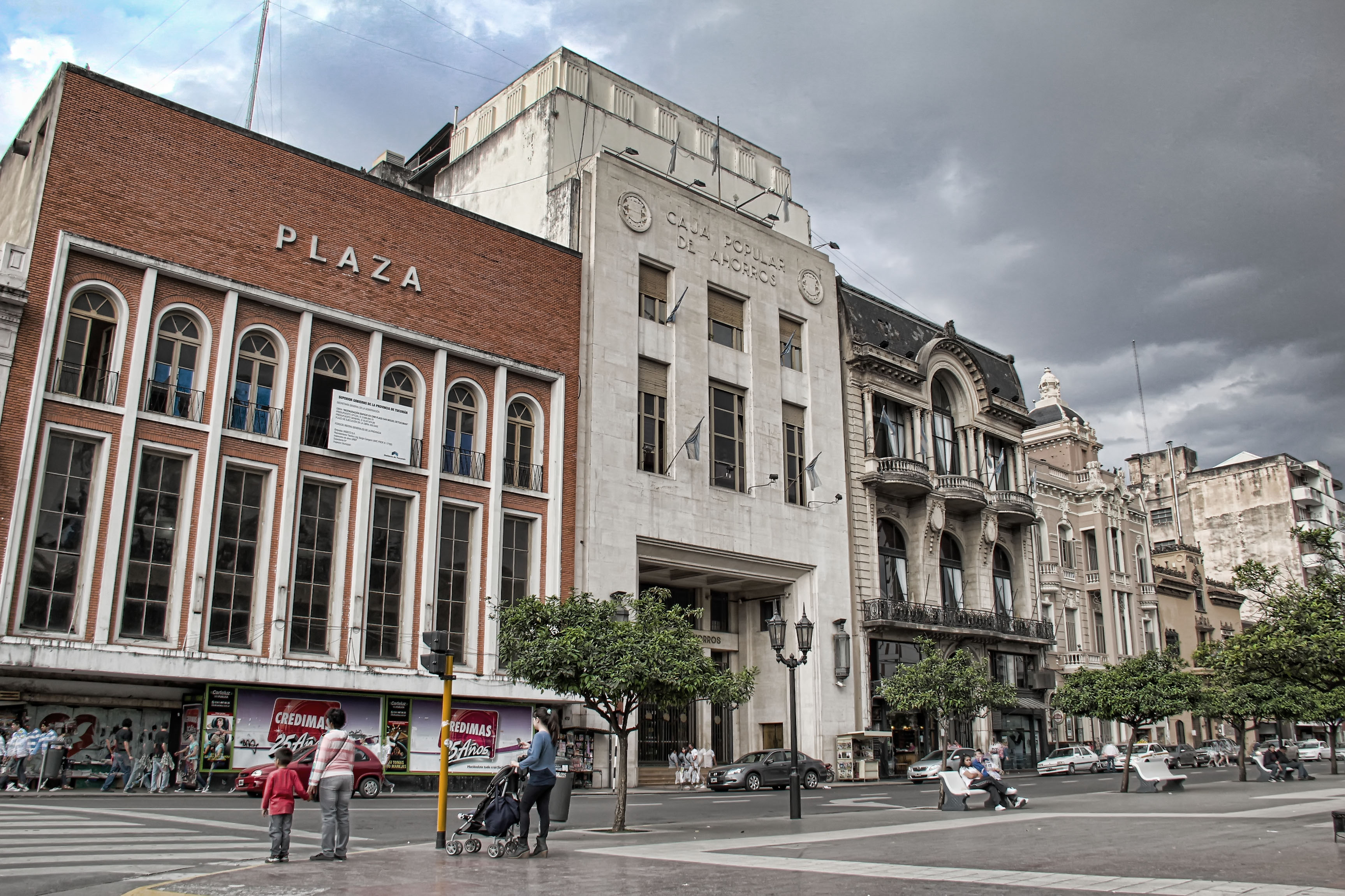
Alderetesのカテゴリー
オートバイの修理オートバイ部品専門店整備士自動車修理・整備自動車用品ショップ車の修理デジタル印刷清掃用品販売店鍛冶屋ファッション アクセサリー店女性用衣料小間物屋服屋男性用衣料靴店ホームセンター塗料販売店建材店日用品店教育アイスクリーム店バー&グリルバー・パブ・居酒屋ベーカリーヘルス&ビューティーショップラウンジレストラン出前サービス家禽店洋菓子店精肉店食料雑貨品店・スーパーマーケット家具店医療センター歯医者獣医師マニキュアとペディキュア理容院/美容院理髪店美容院美容院キオスクコピーショップバックオフィス印刷屋ファンクション ルーム施設ギフト ショップコンビニエンスストアコンピュータショップショッピング
1-50/66表示
産業
Alderetesにおける業界別ビジネス分布
| 業界の説明 | 事業所数 |
|---|---|
| ショッピング | 69 |
| 食料雑貨品店・スーパーマーケット | 50 |
| 服屋 | 31 |
| 美容院 | 22 |
| 全ての食品飲料 | 19 |
| 車の修理 | 17 |
| 薬局・ドラッグストア | 16 |
| ホームセンター | 14 |
| バー・パブ・居酒屋 | 12 |
| 電気店 | 11 |
Alderetesのデータ
| エリア | 4.5 km² |
| 人口 | 30,780 |
| 男性人口 | 15,215 (49.4%) |
| 女性人口 | 15,565 (50.6%) |
| 人口変化 (1975 to 2020) | +128.2% |
| 人口変化 (2000 to 2020) | +22.2% |
| 平均年齢 | 25.3歳 (男性: 24.7, 女性: 25.9) |
| 地域 | Alderetes, Centro, Alderete, Aldretes, Aderetes |
| 現地時間 | |
| 時間帯 | アルゼンチン標準時 |
| 緯度と経度 | -26.81667, -65.13333 |
Alderetesの地図
インタラクティブマップ
Alderetesの人口
1975年から2030年
| Data | 1975 | 1990 | 2000 | 2015 | 2020 | 2025* | 2030* |
|---|---|---|---|---|---|---|---|
| 人口 | 13,489 | 19,541 | 25,194 | 26,583 | 30,780 | 31,840 | 32,692 |
| 人口密度 | 2,997.6 / km² | 4,342.4 / km² | 5,598.7 / km² | 5,907.3 / km² | 6,840 / km² | 7,075.6 / km² | 7,264.9 / km² |
* 予測値
情報源: JRC (European Commission's Joint Research Centre) の作業 GHS built-up gridAlderetesの2000年から2020年までの人口変化
2000年から2020年にかけて22.2%増加
| 場所 | 1975年以降の変化 | 1990年以降の変化 | 2000年以降の変化 |
|---|---|---|---|
| Alderetes | +128.2% | +57.5% | +22.2% |
| トゥクマン州 | — | — | — |
| アルゼンチン | — | — | — |
情報源: JRC (European Commission's Joint Research Centre) の作業 GHS built-up grid
Alderetesの年齢中央値
年齢中央値: 25.3歳
| 場所 | 平均年齢 | 年齢の中央値(女性) | 年齢の中央値(男性) |
|---|---|---|---|
| Alderetes | 25.3 yrs | 25.9 yrs | 24.7 yrs |
| トゥクマン州 | 27.2 yrs | 28.1 yrs | 26.3 yrs |
| アルゼンチン | 29.8 yrs | 30.9 yrs | 28.7 yrs |
情報源: CIESIN (Center for International Earth Science Information Network)
Alderetesの人口密度
人口密度: 6,840 / km²
| 場所 | 人口 | エリア | 密度 |
|---|---|---|---|
| Alderetes | 30,780 | 4.5 km² | 6,840 / km² |
| トゥクマン州 | 1.5 million | 22,602.2 km² | 68.3 / km² |
| アルゼンチン | 43.2 million | 2,779,516.9 km² | 15.5 / km² |
情報源: JRC (European Commission's Joint Research Centre) の作業 GHS built-up grid
Alderetesの過去および予測人口
1850年から2100年までの推定人口
情報源:
- JRC (European Commission's Joint Research Centre) の作業 GHS built-up grid
- CIESIN (Center for International Earth Science Information Network)
- [リンク] Klein Goldewijk, K., Beusen, A., Doelman, J., and Stehfest, E.: Anthropogenic land use estimates for the Holocene – HYDE 3.2, Earth Syst. Sci. Data, 9, 927–953, https://doi.org/10.5194/essd-9-927-2017, 2017.
価格分布
Alderetesの価格によるビジネスの分布
人間開発指数(HDI)
平均余命、教育、および一人当たり収入の統計的複合指数。
出典: [リンク] Kummu, M., Taka, M. &Guillaume, J. 1990年から2015年までのGDPおよび人間開発指数のグローバルグリッドデータセット. Sci Data 5, 180004 (2018) doi:10.1038/sdata.2018.4
AlderetesのCO2排出量
1人あたりの二酸化炭素(CO2)排出量(年間トン)
| 場所 | CO2排出量 | 一人当たりのCO2排出量 | CO2排出強度 |
|---|---|---|---|
| Alderetes | 117,288 tn | 3.81 tn | 26,063.9 tons/km² |
| トゥクマン州 | 6,046,199 tn | 3.91 tn | 267.5 tons/km² |
| アルゼンチン | 198,107,945 tn | 4.59 tn | 71.3 tons/km² |
情報源: [リンク] Moran, D., Kanemoto K; Jiborn, M., Wood, R., Többen, J., and Seto, K.C. (2018) 13,000都市のカーボンフットプリント. Environmental Research Letters DOI: 10.1088/1748-9326/aac72a
AlderetesのCO2排出量
| 2013年のCO2排出量(トン/年) | 117,288 tn |
| 2013年の一人当たりCO2排出量(トン/年) | 3.81 tn |
| 2013年のCO2排出強度(トン/km²/年) | 26,063.9 tons/km² |
自然災害リスク
10のうちの相対リスク
| ハザード | リスクレベル |
|---|---|
| 干ばつ | 中 (7) |
| 地震 | 中 (6) |
*特に洪水または地滑りに関するリスクは、地域全体に及ぶとは限りません。
情報源:
- Dilley, M., R.S. Chen, U. Deichmann, A.L. Lerner-Lam, M. Arnold, J. Agwe, P. Buys, O. Kjekstad, B. Lyon, and G. Yetman. 2005. Natural Disaster Hotspots: A Global Risk Analysis. Washington, D.C.: World Bank. https://doi.org/10.1596/0-8213-5930-4.
- Center for Hazards and Risk Research - CHRR - Columbia University, Center for International Earth Science Information Network - CIESIN - Columbia University, and International Research Institute for Climate and Society - IRI - Columbia University. 2005. Global Drought Hazard Frequency and Distribution. Palisades, NY: NASA Socioeconomic Data and Applications Center (SEDAC). https://doi.org/10.7927/H4VX0DFT.
- Center for Hazards and Risk Research - CHRR - Columbia University, Center for International Earth Science Information Network - CIESIN - Columbia University. 2005. Global Earthquake Hazard Distribution - Peak Ground Acceleration. Palisades, NY: NASA Socioeconomic Data and Applications Center (SEDAC). https://doi.org/10.7927/H4BZ63ZS.
最近の近くの地震
マグニチュード3.0以上
| 日付▼ | 時間↕ | Magnitude↕ | Distance↕ | 深さ↕ | 場所↕ | リンク |
|---|---|---|---|---|---|---|
| 5/16/18 | 1:38 AM | 4.1 | 87.4 km | 10,000 m | 50km ESE of Burruyacu, Argentina | usgs.gov |
| 4/19/18 | 12:28 PM | 3.7 | 73.7 km | 10,000 m | 43km NE of Termas de Rio Hondo, Argentina | usgs.gov |
| 7/29/16 | 4:44 PM | 4.2 | 50.7 km | 59,710 m | 16km S of Trancas, Argentina | usgs.gov |
| 12/16/14 | 3:27 AM | 3.7 | 59.4 km | 26,000 m | 35km NNE of Termas de Rio Hondo, Argentina | usgs.gov |
| 7/16/13 | 7:37 AM | 4.2 | 8.9 km | 38,100 m | 5km SE of Alderetes, Argentina | usgs.gov |
| 2/21/11 | 6:58 AM | 5.6 | 57.5 km | 12,700 m | Santiago Del Estero, Argentina | usgs.gov |
| 9/27/10 | 9:25 AM | 5 | 64.7 km | 21,000 m | Tucuman, Argentina | usgs.gov |
| 6/16/10 | 4:31 AM | 4.7 | 98.1 km | 10,000 m | Tucuman, Argentina | usgs.gov |
| 4/16/08 | 11:01 AM | 4.1 | 68.9 km | 52,500 m | Tucuman, Argentina | usgs.gov |
| 11/14/06 | 7:44 PM | 4.6 | 91.5 km | 40,000 m | Santiago Del Estero, Argentina | usgs.gov |


データについて
このページのデータは、公開されている各種ツールやリソースを用いて推定されています。保証なしで提供されており、不正確な情報が含まれる可能性があります。ご自身の責任でご利用ください。