Pyrmontのカテゴリー
レンタカー自動車修理・整備オフィス家具店デジタル印刷サービス印刷業者卸売業者建築材料納入業者法人向けギフト販売店繊維・原材料卸売輸出入会社造船業食品供給業者魚介卸売業者ファッション アクセサリー店ブティックブライダルショップ宝石や時計服屋清掃業者靴店インターネット サービス プロバイダメディア会社ラジオ放送局電気通信事業者電話会社Immigration and Naturalization ServiceNPO法人コミュニティ センター協会/組織太陽エネルギー会社女性用公衆トイレ男性用公衆トイレ船会社託児所運送業郵便局障害者支援団体IT コンサルタントウェブ ホスティング会社コンピューター サポート、サービスソフトウェアコンサルタントソフトウェア企業パソコン修理店パソコン専門店ビデオ編集サービス情報サービス業者アーキテクツエンジニアリング コンサルタントゼネコン住宅建設
1-50/296表示
…
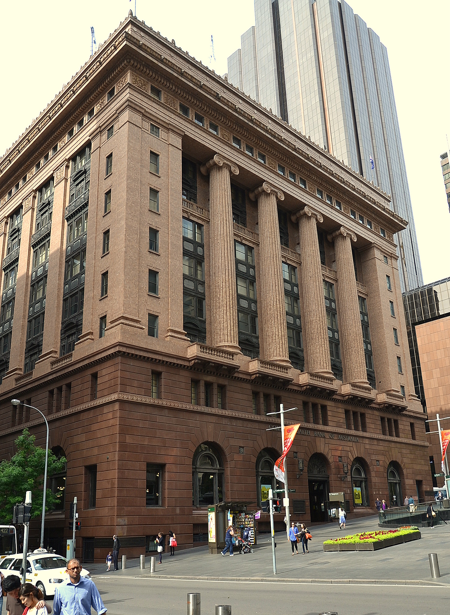
産業
Pyrmontにおける業界別ビジネス分布
Pyrmontの地図
インタラクティブマップ
Pyrmontの人口
1975年から2020年
| Data | 1975 | 1990 | 2000 | 2015 | 2020 |
|---|---|---|---|---|---|
| 人口 | 5,911 | 7,239 | 8,073 | 10,069 | 10,775 |
| 人口密度 | 6,305.1 / km² | 7,721.6 / km² | 8,611.2 / km² | 10,740.3 / km² | 11,493.3 / km² |
情報源: JRC (European Commission's Joint Research Centre) の作業 GHS built-up grid
Pyrmontの2000年から2015年までの人口変化
2000年から2015年にかけて24.7%増加
| 場所 | 1975年以降の変化 | 1990年以降の変化 | 2000年以降の変化 |
|---|---|---|---|
| Pyrmont | +70.3% | +39.1% | +24.7% |
| ニューサウスウェールズ州 | +72.6% | +40.2% | +25.4% |
| オーストラリア | +72.6% | +40.3% | +25.5% |
情報源: JRC (European Commission's Joint Research Centre) の作業 GHS built-up grid
Pyrmontの年齢中央値
年齢中央値: 32歳
| 場所 | 平均年齢 | 年齢の中央値(女性) | 年齢の中央値(男性) |
|---|---|---|---|
| Pyrmont | 32 yrs | 31.8 yrs | 32.2 yrs |
| ニューサウスウェールズ州 | 38.3 yrs | 39.2 yrs | 37.4 yrs |
| オーストラリア | 37.7 yrs | 38.6 yrs | 36.8 yrs |
情報源: CIESIN (Center for International Earth Science Information Network)
Pyrmontの人口密度
人口密度: 11,493 / km²
| 場所 | 人口 | エリア | 密度 |
|---|---|---|---|
| Pyrmont | 10,775 | 0.938 km² | 11,493 / km² |
| ニューサウスウェールズ州 | 7.7 million | 801,634.1 km² | 9.6 / km² |
| オーストラリア | 23.8 million | 7,690,961.5 km² | 3.1 / km² |
情報源: JRC (European Commission's Joint Research Centre) の作業 GHS built-up grid
Pyrmontの過去および予測人口
1880年から2100年までの推定人口
情報源:
- JRC (European Commission's Joint Research Centre) の作業 GHS built-up grid
- CIESIN (Center for International Earth Science Information Network)
- [リンク] Klein Goldewijk, K., Beusen, A., Doelman, J., and Stehfest, E.: Anthropogenic land use estimates for the Holocene – HYDE 3.2, Earth Syst. Sci. Data, 9, 927–953, https://doi.org/10.5194/essd-9-927-2017, 2017.
市外局番
Pyrmontのビジネスによって使用されている市外局番の割合
価格分布
Pyrmontの価格によるビジネスの分布
人間開発指数(HDI)
平均余命、教育、および一人当たり収入の統計的複合指数。
出典: [リンク] Kummu, M., Taka, M. &Guillaume, J. 1990年から2015年までのGDPおよび人間開発指数のグローバルグリッドデータセット. Sci Data 5, 180004 (2018) doi:10.1038/sdata.2018.4
PyrmontのCO2排出量
1人あたりの二酸化炭素(CO2)排出量(年間トン)
| 場所 | CO2排出量 | 一人当たりのCO2排出量 | CO2排出強度 |
|---|---|---|---|
| Pyrmont | 213,387 tn | 19.8 tn | 227,612.7 tons/km² |
| ニューサウスウェールズ州 | 133,365,481 tn | 17.39 tn | 166.4 tons/km² |
| オーストラリア | 401,155,564 tn | 16.88 tn | 52.2 tons/km² |
情報源: [リンク] Moran, D., Kanemoto K; Jiborn, M., Wood, R., Többen, J., and Seto, K.C. (2018) 13,000都市のカーボンフットプリント. Environmental Research Letters DOI: 10.1088/1748-9326/aac72a
PyrmontのCO2排出量
| 2013年のCO2排出量(トン/年) | 213,387 tn |
| 2013年の一人当たりCO2排出量(トン/年) | 19.8 tn |
| 2013年のCO2排出強度(トン/km²/年) | 227,612.7 tons/km² |
自然災害リスク
Relative risk out of 10
| ハザード | Risk Level |
|---|---|
| Drought | Medium (4) |
| Flood | High (8) |
| Earthquake | Medium (4) |
* Risk, particularly concerning flood or landslide, may not be for the entire area.
情報源:
- Dilley, M., R.S. Chen, U. Deichmann, A.L. Lerner-Lam, M. Arnold, J. Agwe, P. Buys, O. Kjekstad, B. Lyon, and G. Yetman. 2005. Natural Disaster Hotspots: A Global Risk Analysis. Washington, D.C.: World Bank. https://doi.org/10.1596/0-8213-5930-4.
- Center for Hazards and Risk Research - CHRR - Columbia University, Center for International Earth Science Information Network - CIESIN - Columbia University, and International Research Institute for Climate and Society - IRI - Columbia University. 2005. Global Drought Hazard Frequency and Distribution. Palisades, NY: NASA Socioeconomic Data and Applications Center (SEDAC). https://doi.org/10.7927/H4VX0DFT.
- Center for Hazards and Risk Research - CHRR - Columbia University, Center for International Earth Science Information Network - CIESIN - Columbia University. 2005. Global Flood Hazard Frequency and Distribution. Palisades, NY: NASA Socioeconomic Data and Applications Center (SEDAC). https://doi.org/10.7927/H4668B3D.
- Center for Hazards and Risk Research - CHRR - Columbia University, Center for International Earth Science Information Network - CIESIN - Columbia University. 2005. Global Earthquake Hazard Distribution - Peak Ground Acceleration. Palisades, NY: NASA Socioeconomic Data and Applications Center (SEDAC). https://doi.org/10.7927/H4BZ63ZS.
最近の近くの地震
マグニチュード3.0以上
| 日付▼ | 時間↕ | Magnitude↕ | Distance↕ | 深さ↕ | 場所↕ | リンク |
|---|---|---|---|---|---|---|
| 9/10/12 | 6:23 AM | 3.2 | 76.2 km | 2,000 m | near the southeast coast of Australia | usgs.gov |
| 8/22/07 | 10:24 AM | 3 | 90.7 km | 7,000 m | near the southeast coast of Australia | usgs.gov |
| 8/18/07 | 3:57 AM | 3.2 | 94.3 km | 18,000 m | near the southeast coast of Australia | usgs.gov |
| 4/11/07 | 12:58 AM | 3.1 | 45.8 km | 20,000 m | near the southeast coast of Australia | usgs.gov |
| 6/18/06 | 3:49 PM | 3 | 74.5 km | 12,000 m | near the southeast coast of Australia | usgs.gov |
| 10/31/05 | 6:13 PM | 3.1 | 94.5 km | 0 m | near the southeast coast of Australia | usgs.gov |
| 2/14/02 | 1:27 PM | 3.9 | 81.6 km | 10,000 m | near the southeast coast of Australia | usgs.gov |
| 3/17/99 | 1:58 AM | 3.8 | 62.4 km | 10,000 m | near the southeast coast of Australia | usgs.gov |
| 6/24/87 | 2:53 PM | 3.1 | 53.7 km | 33,000 m | near the southeast coast of Australia | usgs.gov |
| 2/20/86 | 9:43 PM | 4.1 | 88.3 km | 5,000 m | near the southeast coast of Australia | usgs.gov |


データについて
このページのデータは、公開されている各種ツールやリソースを用いて推定されています。保証なしで提供されており、不正確な情報が含まれる可能性があります。ご自身の責任でご利用ください。