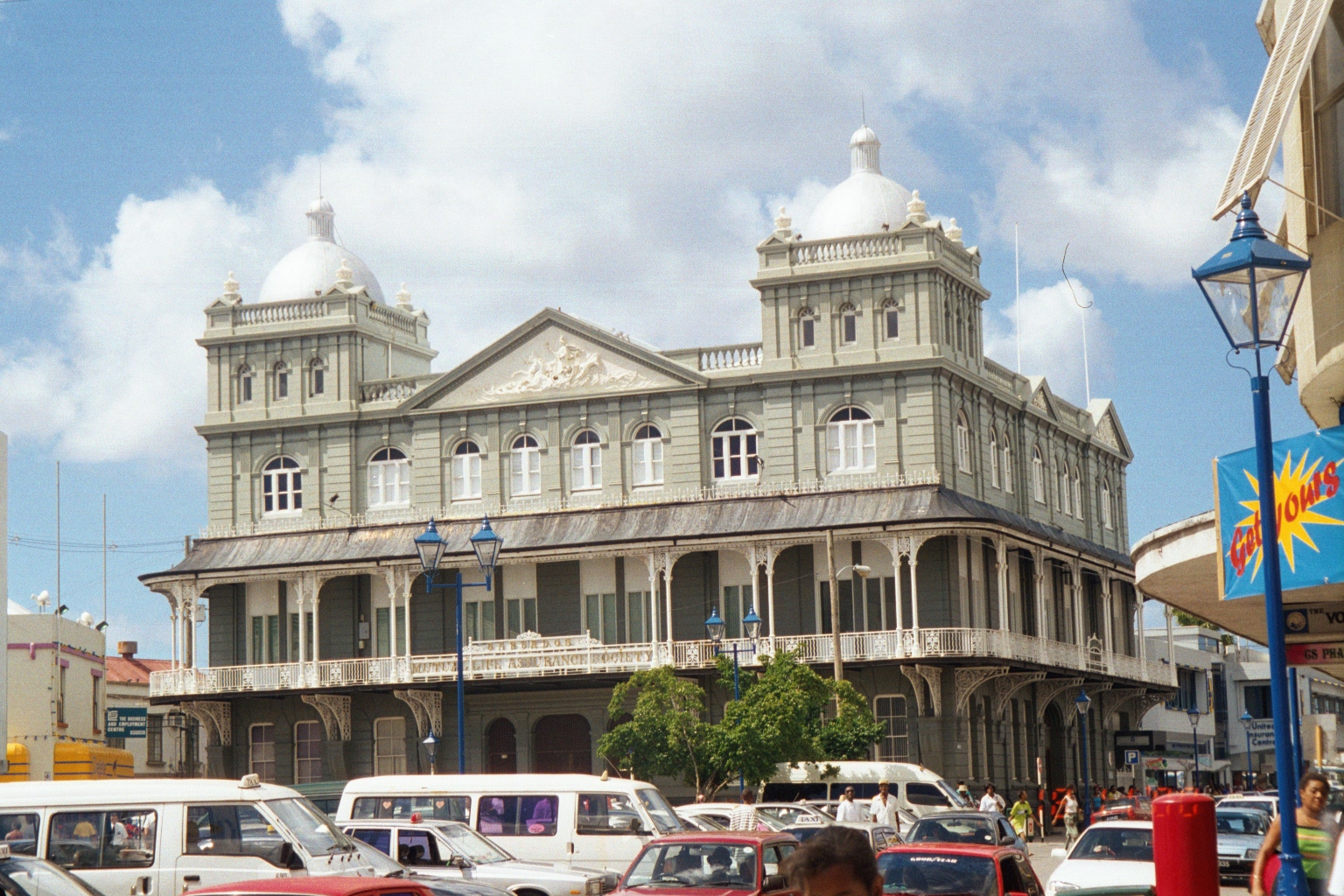
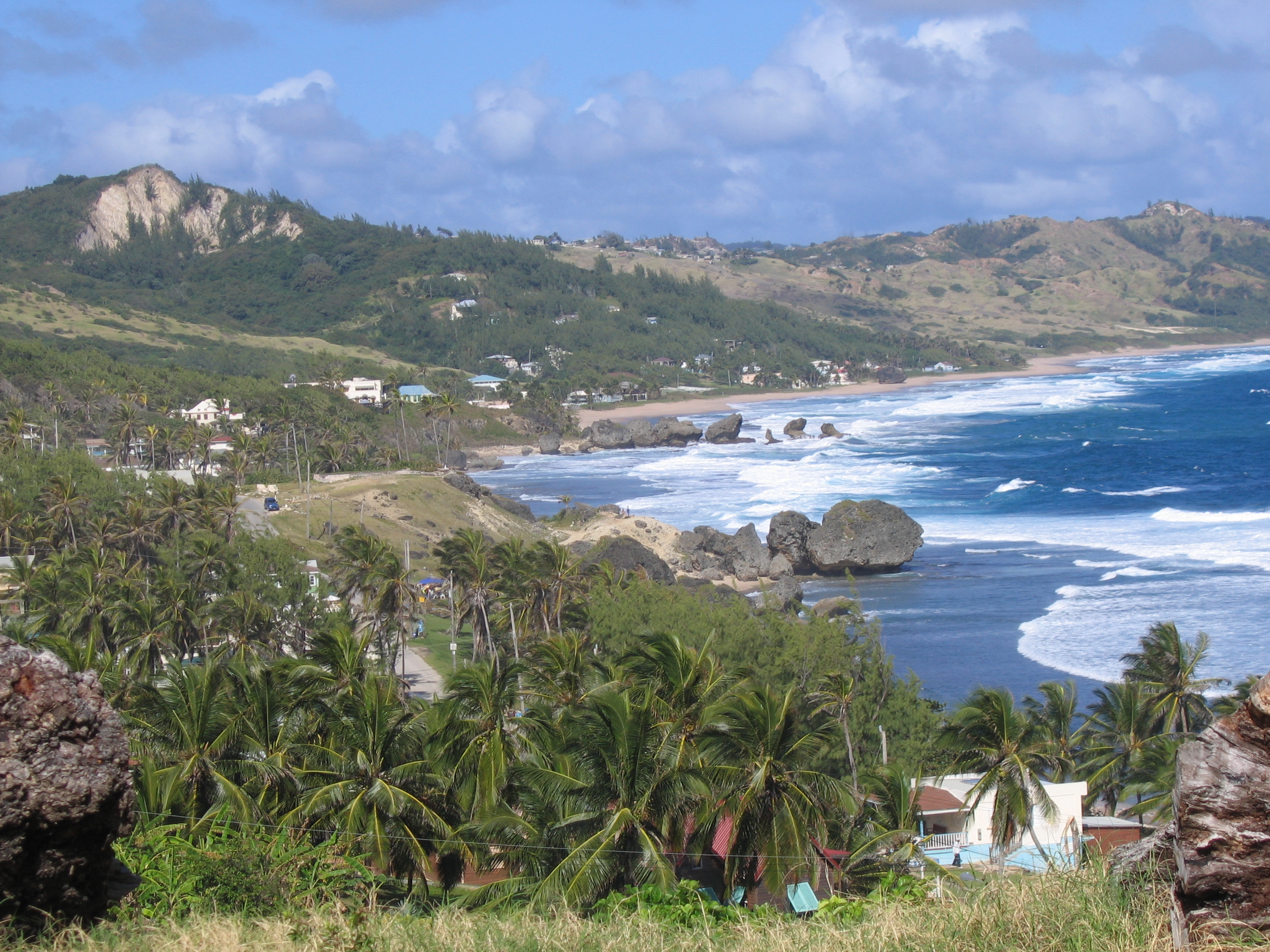
Oistinsのカテゴリー
カー ディテーリング業ガソリンスタンドレンタカー新車ディーラー洗車ファッション アクセサリー店服屋占星術師・降霊術者政府機関教会託児所電器店ホームセンター住宅開発建物の建設日用品店小学校教育ウェブ デザイナーグラフィック デザイナーファッションデザイナー観光名所アメリカ料理レストランカフェカリブ海レストランケータリングシーフードレストランバー&グリルバー・パブ・居酒屋ピザファーストフードレストランベーカリーヘルス&ビューティーショップレストラン食料雑貨品店・スーパーマーケット銀行イベント会場デイ スパデイスパまつげサロンマニキュアとペディキュア理髪店美容院美容院アパートマンスリー マンション ビル不動産仲介業団地団地/共同住宅旅行者用アパート貸別荘集合住宅ギフト ショップコンビニエンスストアショッピングショッピング モールスーパー薬局雑貨店アドベンチャー・アウトドアアクティビティスポーツジムナイトクラブヴィラゲスト ハウスタクシーツアーツアー オペレーターバケーション ホーム レンタル代理店ホテルホテル・モーテルリゾート家具付き宿泊施設宿泊施設屋内宿泊施設旅行代理業民宿貸別荘運輸サービス
産業
Oistinsにおける業界別ビジネス分布
| 業界の説明 | 事業所数 | Googleの平均評価 |
|---|---|---|
| レストラン | 38 | 4.3 |
| バー・パブ・居酒屋 | 30 | 4.2 |
| その他の宿泊施設 | 28 | 4.2 |
| ショッピング | 22 | 3.9 |
| ホテル・モーテル | 21 | 4.2 |
| 教会 | 21 | 4.5 |
| 別荘、キャビン、リゾート | 13 | 4.4 |
| カリブ海レストラン | 12 | 4.1 |
| 宗教 | 12 | 4.5 |
| ガソリンスタンド | 11 | 3.8 |
| 電気店 | 11 | 4.4 |
| カフェ | 9 | 4.3 |
| 教育 | 9 | 4.3 |
| 食料雑貨品店・スーパーマーケット | 8 | 3.9 |
| スポーツ・娯楽 | 7 | 4.4 |
| 事務用品・文房具店 | 7 | 4 |
| シーフードレストラン | 7 | 4.4 |
| 百貨店 | 7 | 3.8 |
| 不動産 | 6 | — |
| 建物の建設 | 6 | — |
| マンション | 6 | 4.8 |
| コンビニエンスストア | 5 | 4.1 |
| ファーストフードレストラン | 5 | 3.9 |
| フィットネスセンター | 5 | 4.4 |
Oistinsのデータ
| エリア | 0.9 km² |
| 人口 | 2,486 |
| 男性人口 | 1,169 (47.0%) |
| 女性人口 | 1,317 (53.0%) |
| 人口変化 (1975 to 2020) | +39.8% |
| 人口変化 (2000 to 2020) | +6.3% |
| 平均年齢 | 38.5歳 (男性: 36.7, 女性: 40.1) |
| 地域 | Maxwell Coast, Welches, Dover, Scarborough, Parish Land |
| 現地時間 | |
| 時間帯 | 大西洋標準時 |
| 緯度と経度 | 13.06667, -59.53333 |
Oistinsの地図
インタラクティブマップ
Oistinsの人口
1975年から2020年
| Data | 1975 | 1990 | 2000 | 2015 | 2020 |
|---|---|---|---|---|---|
| 人口 | 1,778 | 1,906 | 2,338 | 2,402 | 2,486 |
| 人口密度 | 1,896.5 / km² | 2,033.1 / km² | 2,493.9 / km² | 2,562.1 / km² | 2,651.7 / km² |
情報源: JRC (European Commission's Joint Research Centre) の作業 GHS built-up grid
Oistinsの2000年から2015年までの人口変化
2000年から2015年にかけて2.7%増加
| 場所 | 1975年以降の変化 | 1990年以降の変化 | 2000年以降の変化 |
|---|---|---|---|
| Oistins | +35.1% | +26% | +2.7% |
| Christ Church | +11.3% | +4.5% | +4.1% |
| バルバドス | +15.5% | +9.2% | +5.3% |
情報源: JRC (European Commission's Joint Research Centre) の作業 GHS built-up grid
Oistinsの年齢中央値
年齢中央値: 38.5歳
| 場所 | 平均年齢 | 年齢の中央値(女性) | 年齢の中央値(男性) |
|---|---|---|---|
| Oistins | 38.5 yrs | 40.1 yrs | 36.7 yrs |
| Christ Church | 38.2 yrs | 39.7 yrs | 36.5 yrs |
| バルバドス | 37.1 yrs | 38.4 yrs | 35.7 yrs |
情報源: CIESIN (Center for International Earth Science Information Network)
Oistinsの人口密度
人口密度: 2,652 / km²
| 場所 | 人口 | エリア | 密度 |
|---|---|---|---|
| Oistins | 2,486 | 0.938 km² | 2,652 / km² |
| Christ Church | 41,285 | 57.4 km² | 719 / km² |
| バルバドス | 283,545 | 441.4 km² | 642 / km² |
情報源: JRC (European Commission's Joint Research Centre) の作業 GHS built-up grid
Oistinsの過去および予測人口
1600年から2100年までの推定人口
情報源:
- JRC (European Commission's Joint Research Centre) の作業 GHS built-up grid
- CIESIN (Center for International Earth Science Information Network)
- [リンク] Klein Goldewijk, K., Beusen, A., Doelman, J., and Stehfest, E.: Anthropogenic land use estimates for the Holocene – HYDE 3.2, Earth Syst. Sci. Data, 9, 927–953, https://doi.org/10.5194/essd-9-927-2017, 2017.
Oistinsの地区
Oistinsの地区別の企業の割合
価格分布
Oistinsの価格によるビジネスの分布
人間開発指数(HDI)
平均余命、教育、および一人当たり収入の統計的複合指数。
出典: [リンク] Kummu, M., Taka, M. &Guillaume, J. 1990年から2015年までのGDPおよび人間開発指数のグローバルグリッドデータセット. Sci Data 5, 180004 (2018) doi:10.1038/sdata.2018.4
Christ ChurchのCO2排出量
1人あたりの二酸化炭素(CO2)排出量(年間トン)
| 場所 | CO2排出量 | 一人当たりのCO2排出量 | CO2排出強度 |
|---|---|---|---|
| Christ Church | 344,563 tn | 8.35 tn | 5,999.7 tons/km² |
| バルバドス | 2,251,015 tn | 7.94 tn | 5,099.6 tons/km² |
情報源: [リンク] Moran, D., Kanemoto K; Jiborn, M., Wood, R., Többen, J., and Seto, K.C. (2018) 13,000都市のカーボンフットプリント. Environmental Research Letters DOI: 10.1088/1748-9326/aac72a
Christ ChurchのCO2排出量
| 2013年のCO2排出量(トン/年) | 344,563 tn |
| 2013年の一人当たりCO2排出量(トン/年) | 8.35 tn |
| 2013年のCO2排出強度(トン/km²/年) | 5,999.7 tons/km² |
自然災害リスク
Relative risk out of 10
| ハザード | Risk Level |
|---|---|
| Drought | Medium (5) |
| Earthquake | Low (2) |
* Risk, particularly concerning flood or landslide, may not be for the entire area.
情報源:
- Dilley, M., R.S. Chen, U. Deichmann, A.L. Lerner-Lam, M. Arnold, J. Agwe, P. Buys, O. Kjekstad, B. Lyon, and G. Yetman. 2005. Natural Disaster Hotspots: A Global Risk Analysis. Washington, D.C.: World Bank. https://doi.org/10.1596/0-8213-5930-4.
- Center for Hazards and Risk Research - CHRR - Columbia University, Center for International Earth Science Information Network - CIESIN - Columbia University, and International Research Institute for Climate and Society - IRI - Columbia University. 2005. Global Drought Hazard Frequency and Distribution. Palisades, NY: NASA Socioeconomic Data and Applications Center (SEDAC). https://doi.org/10.7927/H4VX0DFT.
- Center for Hazards and Risk Research - CHRR - Columbia University, Center for International Earth Science Information Network - CIESIN - Columbia University. 2005. Global Earthquake Hazard Distribution - Peak Ground Acceleration. Palisades, NY: NASA Socioeconomic Data and Applications Center (SEDAC). https://doi.org/10.7927/H4BZ63ZS.
最近の近くの地震
マグニチュード3.0以上
| 日付▼ | 時間↕ | Magnitude↕ | Distance↕ | 深さ↕ | 場所↕ | リンク |
|---|---|---|---|---|---|---|
| 11/22/16 | 4:12 AM | 4.3 | 46.4 km | 26,860 m | 46km SE of Oistins, Barbados | usgs.gov |
| 7/20/15 | 10:59 PM | 4.4 | 97.4 km | 12,620 m | 82km NNE of Bathsheba, Barbados | usgs.gov |
| 4/27/15 | 9:21 PM | 3.8 | 21.2 km | 41,270 m | 21km E of Oistins, Barbados | usgs.gov |
| 12/27/14 | 2:14 AM | 4.3 | 81.6 km | 41,120 m | 81km S of Oistins, Barbados | usgs.gov |
| 11/17/13 | 12:04 PM | 3.6 | 75.2 km | 40,100 m | 70km SW of Bridgetown, Barbados | usgs.gov |
| 7/10/13 | 2:02 PM | 4.4 | 58.8 km | 30,800 m | Barbados region, Windward Islands | usgs.gov |
| 5/24/09 | 5:13 AM | 4.6 | 89 km | 19,900 m | Barbados region, Windward Islands | usgs.gov |
| 7/26/08 | 3:07 PM | 4.4 | 61.7 km | 49,000 m | Barbados region, Windward Islands | usgs.gov |
| 4/30/08 | 2:45 PM | 3.8 | 47.5 km | 3,000 m | Barbados region, Windward Islands | usgs.gov |
| 2/22/08 | 5:15 AM | 3.7 | 91.1 km | 15,000 m | Barbados region, Windward Islands | usgs.gov |

データについて
このページのデータは、公開されている各種ツールやリソースを用いて推定されています。保証なしで提供されており、不正確な情報が含まれる可能性があります。ご自身の責任でご利用ください。