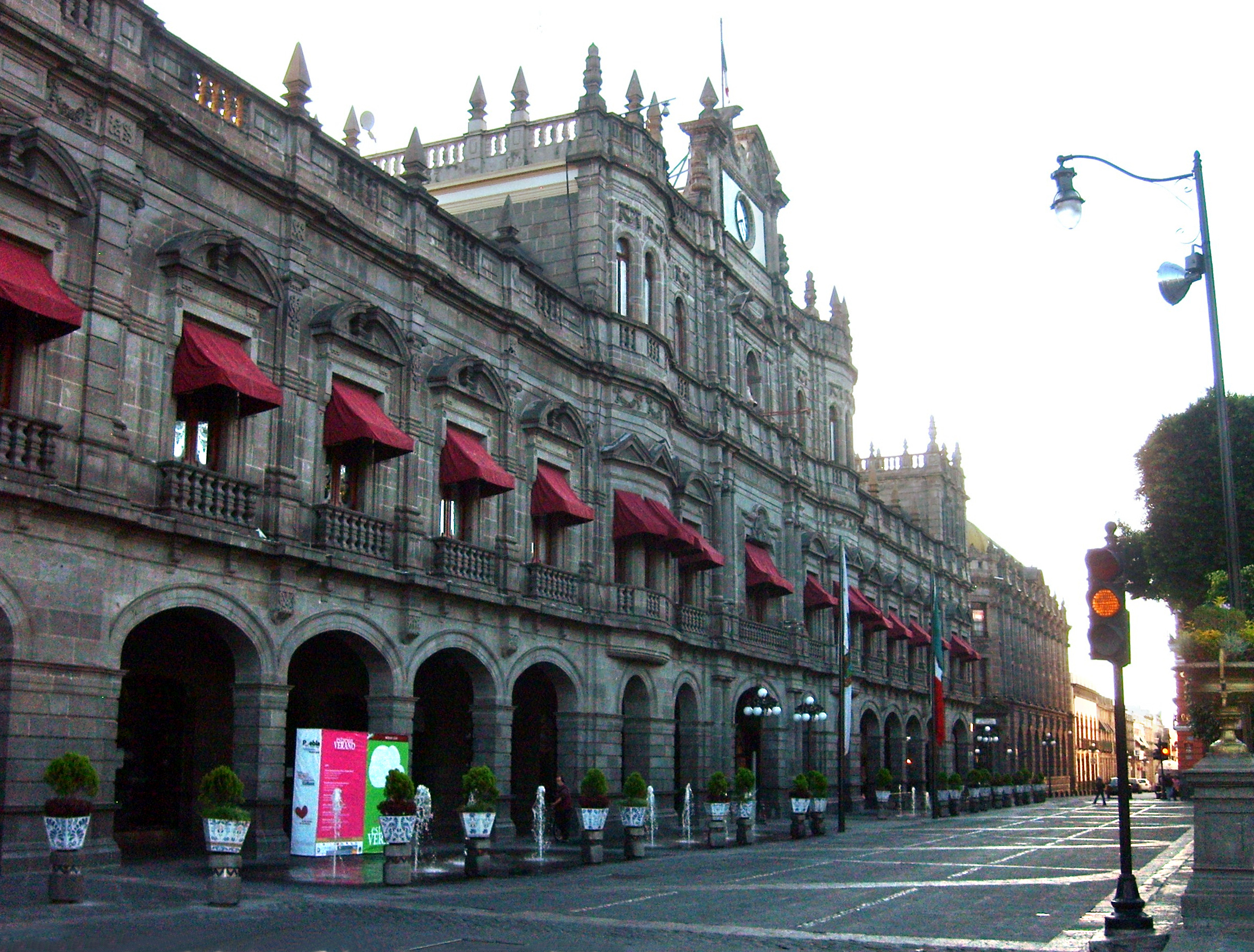
Nealticanのカテゴリー
整備士洗車自動車修理・整備自動車用品ショップ車の修理機械加工製造元鍛冶屋ブティック服屋靴店携帯電話ショップキリスト教教会宗教団体教会末日聖徒イエス キリスト教会(モルモン教)ホームセンター塗料販売店建材店日用品店教育インターネットカフェカフェコーヒーショップシーフードレストランタコス レストランバー・パブ・居酒屋ピザファミリー レストランベーカリーメキシコ料理レストランレストラン精肉店食料雑貨品店・スーパーマーケット鶏料理店マネー オーダー サービスモバイルマネー代理店信託銀行送金サービス歯医者マニキュアとペディキュア理髪店美容院美容院事務用品・文房具店ギフト ショップコンビニエンスストアショッピングショッピング モール生花店薬局手の届かないもの
Nealticanの地図
インタラクティブマップ
Nealticanの人口
1975年から2020年
| Data | 1975 | 1990 | 2000 | 2015 | 2020 |
|---|---|---|---|---|---|
| 人口 | 3,904 | 6,935 | 9,486 | 13,515 | 14,336 |
| 人口密度 | 844.1 / km² | 1,499.5 / km² | 2,051 / km² | 2,922.2 / km² | 3,099.7 / km² |
情報源: JRC (European Commission's Joint Research Centre) の作業 GHS built-up grid
Nealticanの2000年から2015年までの人口変化
2000年から2015年にかけて42.5%増加
| 場所 | 1975年以降の変化 | 1990年以降の変化 | 2000年以降の変化 |
|---|---|---|---|
| Nealtican | +246.2% | +94.9% | +42.5% |
| プエブラ州 | +99.8% | +40.9% | +18.4% |
| メキシコ | +108.7% | +48.4% | +23.5% |
情報源: JRC (European Commission's Joint Research Centre) の作業 GHS built-up grid
Nealticanの年齢中央値
年齢中央値: 21歳
| 場所 | 平均年齢 | 年齢の中央値(女性) | 年齢の中央値(男性) |
|---|---|---|---|
| Nealtican | 21 yrs | 22 yrs | 19.7 yrs |
| プエブラ州 | 24.5 yrs | 25.6 yrs | 23.3 yrs |
| メキシコ | 26.2 yrs | 27 yrs | 25.3 yrs |
情報源: CIESIN (Center for International Earth Science Information Network)
Nealticanの人口密度
人口密度: 3,100 / km²
| 場所 | 人口 | エリア | 密度 |
|---|---|---|---|
| Nealtican | 14,336 | 4.625 km² | 3,100 / km² |
| プエブラ州 | 6.4 million | 34,309.1 km² | 187 / km² |
| メキシコ | 126.8 million | 1,965,208 km² | 64.5 / km² |
情報源: JRC (European Commission's Joint Research Centre) の作業 GHS built-up grid
Nealticanの過去および予測人口
0年から2100年までの推定人口
情報源:
- JRC (European Commission's Joint Research Centre) の作業 GHS built-up grid
- CIESIN (Center for International Earth Science Information Network)
- [リンク] Klein Goldewijk, K., Beusen, A., Doelman, J., and Stehfest, E.: Anthropogenic land use estimates for the Holocene – HYDE 3.2, Earth Syst. Sci. Data, 9, 927–953, https://doi.org/10.5194/essd-9-927-2017, 2017.
価格分布
Nealticanの価格によるビジネスの分布
人間開発指数(HDI)
平均余命、教育、および一人当たり収入の統計的複合指数。
出典: [リンク] Kummu, M., Taka, M. &Guillaume, J. 1990年から2015年までのGDPおよび人間開発指数のグローバルグリッドデータセット. Sci Data 5, 180004 (2018) doi:10.1038/sdata.2018.4
NealticanのCO2排出量
1人あたりの二酸化炭素(CO2)排出量(年間トン)
| 場所 | CO2排出量 | 一人当たりのCO2排出量 | CO2排出強度 |
|---|---|---|---|
| Nealtican | 51,671 tn | 3.6 tn | 11,172.1 tons/km² |
| プエブラ州 | 22,860,098 tn | 3.57 tn | 666.3 tons/km² |
| メキシコ | 496,865,013 tn | 3.92 tn | 252.8 tons/km² |
情報源: [リンク] Moran, D., Kanemoto K; Jiborn, M., Wood, R., Többen, J., and Seto, K.C. (2018) 13,000都市のカーボンフットプリント. Environmental Research Letters DOI: 10.1088/1748-9326/aac72a
NealticanのCO2排出量
| 2013年のCO2排出量(トン/年) | 51,671 tn |
| 2013年の一人当たりCO2排出量(トン/年) | 3.6 tn |
| 2013年のCO2排出強度(トン/km²/年) | 11,172.1 tons/km² |
自然災害リスク
Relative risk out of 10
| ハザード | Risk Level |
|---|---|
| Drought | Medium (4) |
| Flood | High (9) |
| Earthquake | Medium (4) |
* Risk, particularly concerning flood or landslide, may not be for the entire area.
情報源:
- Dilley, M., R.S. Chen, U. Deichmann, A.L. Lerner-Lam, M. Arnold, J. Agwe, P. Buys, O. Kjekstad, B. Lyon, and G. Yetman. 2005. Natural Disaster Hotspots: A Global Risk Analysis. Washington, D.C.: World Bank. https://doi.org/10.1596/0-8213-5930-4.
- Center for Hazards and Risk Research - CHRR - Columbia University, Center for International Earth Science Information Network - CIESIN - Columbia University, and International Research Institute for Climate and Society - IRI - Columbia University. 2005. Global Drought Hazard Frequency and Distribution. Palisades, NY: NASA Socioeconomic Data and Applications Center (SEDAC). https://doi.org/10.7927/H4VX0DFT.
- Center for Hazards and Risk Research - CHRR - Columbia University, Center for International Earth Science Information Network - CIESIN - Columbia University. 2005. Global Flood Hazard Frequency and Distribution. Palisades, NY: NASA Socioeconomic Data and Applications Center (SEDAC). https://doi.org/10.7927/H4668B3D.
- Center for Hazards and Risk Research - CHRR - Columbia University, Center for International Earth Science Information Network - CIESIN - Columbia University. 2005. Global Earthquake Hazard Distribution - Peak Ground Acceleration. Palisades, NY: NASA Socioeconomic Data and Applications Center (SEDAC). https://doi.org/10.7927/H4BZ63ZS.
最近の近くの地震
マグニチュード3.0以上
| 日付▼ | 時間↕ | Magnitude↕ | Distance↕ | 深さ↕ | 場所↕ | リンク |
|---|---|---|---|---|---|---|
| 7/17/19 | 3:59 AM | 3.1 | 77.5 km | 10,000 m | 2km NW of Ciudad Nezahualcoyotl, Mexico | usgs.gov |
| 9/19/17 | 6:14 PM | 7.1 | 55.7 km | 48,000 m | 1km E of Ayutla, Mexico | usgs.gov |
| 6/21/13 | 9:41 AM | 4 | 66.5 km | 2,000 m | Morelos, Mexico | usgs.gov |
| 5/6/13 | 8:33 AM | 4.1 | 21.9 km | 1,000 m | Puebla, Mexico | usgs.gov |
| 12/13/08 | 1:43 AM | 3.2 | 74.3 km | 2,100 m | Estado de Mexico, Mexico | usgs.gov |
| 10/5/08 | 1:40 AM | 3.2 | 48.2 km | 2,000 m | Morelos, Mexico | usgs.gov |
| 8/12/08 | 11:29 PM | 3.8 | 30.7 km | 3,000 m | Tlaxcala, Mexico | usgs.gov |
| 8/9/08 | 2:59 AM | 3.4 | 35.4 km | 5,000 m | Tlaxcala, Mexico | usgs.gov |
| 11/10/07 | 5:50 AM | 3.4 | 63.8 km | 2,000 m | Puebla, Mexico | usgs.gov |
| 6/20/07 | 6:13 AM | 3.7 | 45.6 km | 1,500 m | Morelos, Mexico | usgs.gov |
データについて
このページのデータは、公開されている各種ツールやリソースを用いて推定されています。保証なしで提供されており、不正確な情報が含まれる可能性があります。ご自身の責任でご利用ください。